Monday – November 3
Lara a post-doc student of Esther’s, who now lives and works in the U.K., came in last night to visit for a few days. Esther went to meet her at the train station and escort her to our house. I stayed behind to prepare dinner and I was a little nervous because I was cooking in a new kitchen. I braved a heavy rain to go the market on Saturday to get some fresh salmon for dinner. After finally figuring out the oven I roasted some veggies – potatoes, beets and carrots. I also baked the salmon, made mashed cauliflower and a salad. Dinner turned out good.


We were going to eat out for dinner but decided to eat out for lunch instead.


Lara helping me make a Spanish Potato omelet. I got the recipe from Celia but Lara is from Galicia, Spain and knew very well how to make it – I’m ready to go solo next time.
Tuesday – November 4
Esther did a short run this morning and she and Lara headed to the lab at 7:45 this morning. It has been so busy over the last several days that I got behind on my journal so I took some time in the AM to catchup. A very rare weather day today – is was sunny and around 55 degrees a little windy so I took advantage of it an went for a bike ride.


Wednesday – November 5
I went to the market this morning to get some fresh fish for dinner tonight – fresh fish from the Wednesday market has become a thing now. after that I rode my bike to the Ede-Wageningen train station and took the train to Utrecht, a short 40 minute ride.

Utrecht – founded around 47 CE as the Roman fort Traiectum, is one of the oldest cities in the Netherlands. Located in the heart of the country, it grew into an important religious and culture center during the Middle Ages and remains a vibrant university city today. Know for its iconic Dom Tower, medieval canals with unique wharf cellars, and historic architecture, Utrecht blends centuries of history with a lively modern atmosphere. It serves as a major hub for education, culture and transportation in the Netherlands.


The Dom Tower of Utrecht is the tallest church tower in the Netherlands, standing 112.5 meters (368 ft) high. Construction began in 1321 and was completed in 1382 as part of the Cathedral of Saint Martin.
Thursday – November 6
I rode to the city of Ede, explored our town, Wageningen and did some grocery shopping today – I needed a low key day.

Friday – November 7
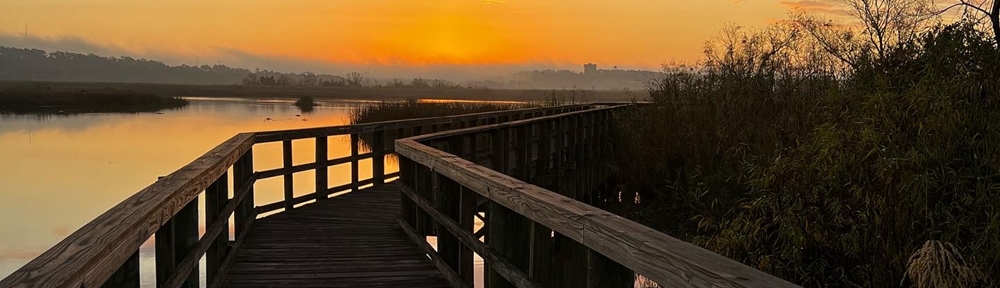
Sunrise: 7:43 AM Sunset: 4:58PM
For Esther’s birthday Gerard, aunt Sonja and probably a few other aunts gave Esther a gift certificate from this nice jewelry store in Hoofddorp, where aunt Sonja lives. Hoofddorp is a town in the Netherlands, located in the municipality of Haarlemmermeer, in the province of North Holland. It’s situated just southwest of Amsterdam and very close to Schiphol airport – it was about a 1-1/2 hour train and walk away from the Ede-Wageningen station. We had planned to meet on this evening so Esther could use her gift card and then have dinner. We left our house at 1:45 and arrived at aunt Sonja at 4:05.


We had a great time and Esther picked out a beautiful necklace and 2 pairs of earrings and dinner was a place called Fort Noxx – it was in an actual historic fort.
Saturday and Sunday November 8 & 9
After Esther did her run on Saturday we took off with our bikes to visit Emiel and Annamarie, Esther’s aunt and uncle, in Emmen. We biked to the Ede-Wageningen to Amersfoort station, then changed trains (different platform) to go to Zwolle, we changed trains and platforms again to go to Dalfsen. Once in Dalfsen we we had to ride our bikes to Ommen because of train track repairs. In Ommen we got back on the train and traveled to Emmen. Emiel met us in Emmen and we rode, in the dark, about 8 mile to his house. They have a nice, cozy house and we had a good overnight stay. They feed us dinner and breakfast. We headed home around 11AM and did everything again but in reverse.


and that ends a very busy week 6.


